Punjab is Pakistan’s largest province by population and second largest by area. Punjab is a land of natural beauty and geographical diversity.
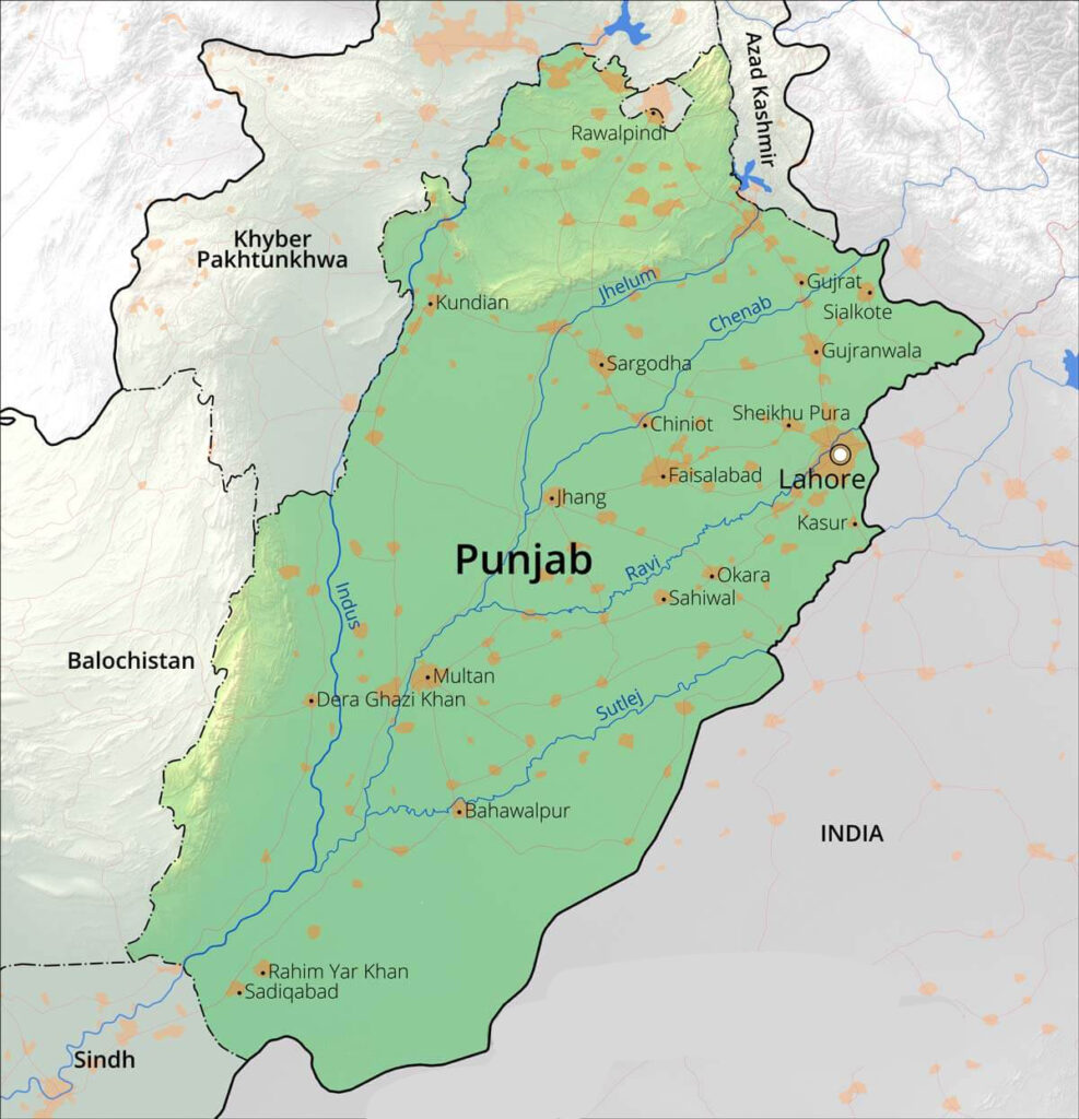
The name “Punjab” is derived from two Persian words, Panj (five) and Ab (water), meaning “the land of five rivers.” These five rivers Jhelum, Chenab, Ravi, Sutlej, and Sindh are the reason behind the fertility of its lands.
For more interesting posts, click here.

Geography
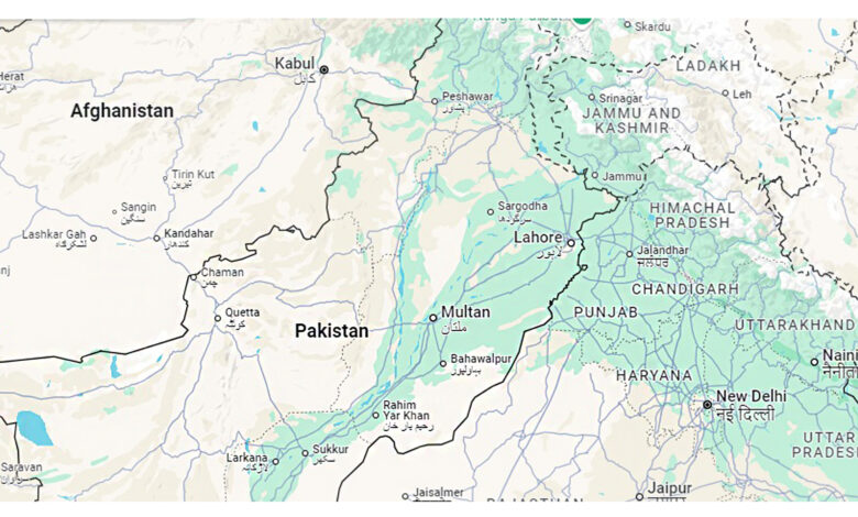
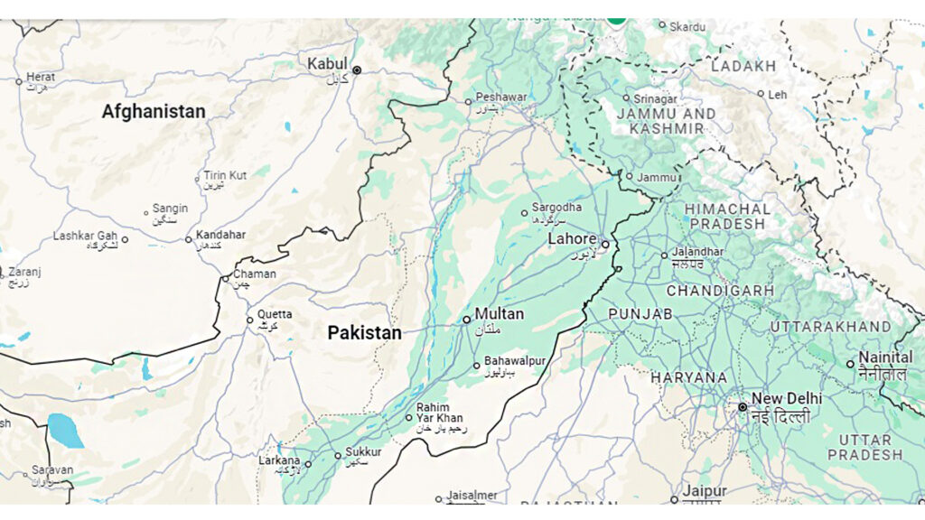
Punjab is located in the northeast of Pakistan. It shares borders with Khyber Pakhtunkhwa to the north-west, India to the east, Balochistan to the west, and Sindh to the south. It covers an area of approximately 205,344 sq. kilometres.
Topography and Landscape

Punjab’s topography varies significantly across its regions, each contributing to its cultural diversity.
The province can be divided into five distinct areas: the Potohar Plateau, the Salt Range, the Central Plains, the Thal Desert, and the Southern Punjab (Cholistan desert).
1. Potohar Plateau
It is located in the northern part of Punjab. The region varies in terrain with forests and small rivers, distinct from the lush plains of central Punjab. The area is rich in history, housing ancient archaeological sites such as Taxila.
Due to the scarcity of canal water, the people of Potohar depend on rain-fed agriculture and livestock farming.
Wheat, barley, and millet are the main crops. Traditional stone houses are common in rural areas—urban centres like Rawalpindi and Islamabad are hubs of trade, education, and employment for the region.
2. Salt Range
Stretching from Jhelum to Kalabagh, the Salt Range is a mountainous area rich in minerals, particularly rock salt and gypsum.
The region’s hills create a unique landscape. Khewra Salt Mine (the world’s second-largest salt mine) is a major attraction.
The local population in this region is involved in mining, salt extraction, and small-scale agriculture.
3. Central Plains
The central plains of Punjab form the province’s core. Major cities like Lahore, Faisalabad, and Gujranwala are located here. This region is a part of the Indus River Basin with vast canal networks and green fields.
The agricultural economy dominates this region. Crops like wheat, rice, sugarcane, and cotton form the backbone of people’s livelihoods.
4. Thal Desert
The Thal Desert lies in the western part of Punjab. This semi-arid region has sandy terrains and sparse vegetation. The Indus River borders the desert to the west and supplies water for limited agriculture through irrigation projects.
Camel breeding, sheep herding, and small-scale farming are common economic activities. The traditional architecture includes mud houses that provide insulation against extreme temperatures.
5. Southern Punjab (Cholistan)
The southern region of Punjab includes cities like Multan, Bahawalpur, and Rahimyar Khan. It is marked by its transition from fertile plains to desert landscapes. The Cholistan Desert extends into India as the Thar Desert.
The people in this area are involved in agriculture, handicrafts, and trade. People of the Cholistan Desert have a nomadic lifestyle with communities relying on livestock rearing and traditional crafts like pottery and weaving.
Rivers of Punjab

Jhelum River
The Jhelum River originates from the Indian-administered region of Jammu and Kashmir, flowing through the vales of Kashmir before entering Pakistan. The Jhelum is about 813 kilometres long and plays a role in the irrigation of Rawalpindi and Islamabad.
Chenab River
The Chenab River is formed by the confluence of two smaller rivers, the Chandra and Bhaga, in the Indian state of Himachal Pradesh. It flows through Jammu and Kashmir, and later into the Pakistani province of Punjab.
The river covers about 960 kilometres, making it one of the longest rivers in the region. The Chenab is a major source of irrigation for the agricultural lands in the Punjab region of Pakistan.
Ravi River
The Ravi River is one of the main tributaries of the Indus River and flows from India into Pakistan. It originates from the Indian state of Himachal Pradesh and travels through the Punjab region before entering Pakistan.
The Ravi is historically significant and was once a key water source for Lahore. However, due to the construction of dams and diversion of water for irrigation purposes, the Ravi’s flow has significantly reduced in recent years. Nevertheless, it still serves as a vital source of water for agriculture.
Sutlej River
The Sutlej River 1450 km long. It flows through India and enters Pakistan near the town of Fazilka.
The Sutlej is vital for irrigation and is also associated with the growth of early civilizations in the region. The river’s flow is regulated by various dams, including the famous Sukkur Barrage, which provides irrigation to vast agricultural lands.
Indus River
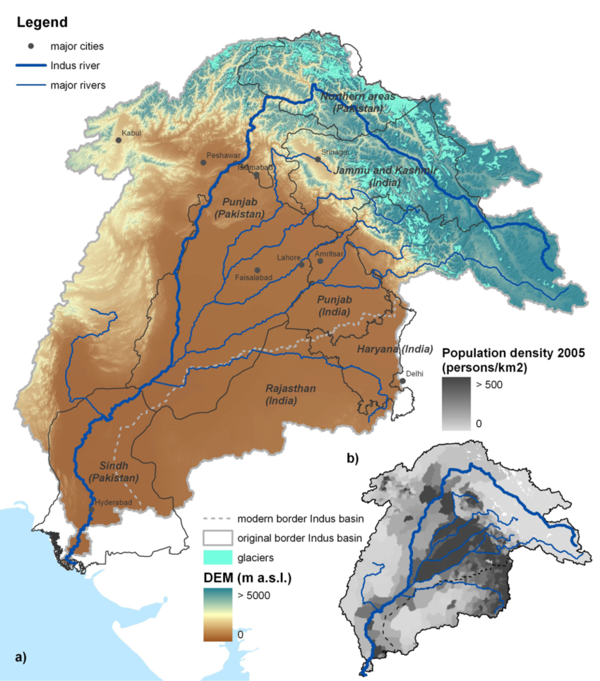
The Indus River is one of the longest rivers in the world. It originates from the Tibetan Plateau, flowing through India and into Pakistan, where it becomes the lifeblood of the country’s agricultural systems.
The Indus River stretches approximately 3,180 kilometres and is the primary water source of the Indus River Basin. In Punjab, it plays a critical role in irrigation, sustaining large portions of the province’s agriculture.
The river is also important for hydroelectric power generation and has been a key feature of the region’s historical development.
Endnote
For contribution to RatingWord, click here.
You can inform us in the comments if any mistake is found. Thank You!


